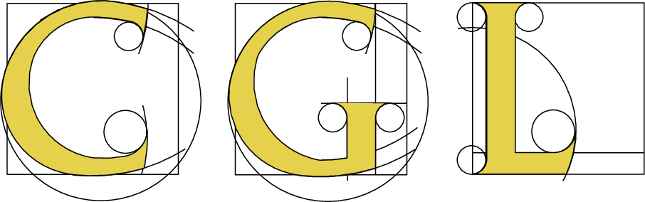
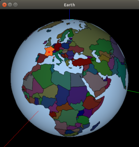
Representing subdivisions of planet earth on the globe has been desired ever since it was discovered that the earth is round. The ability to approximate the borders of the spherical regions by chains of geodesic arcs makes two-dimensional arrangements induced by geodesic arcs embedded in the sphere a natural choice of a data structure for the representation of such subdivisions. The rich set of operations applicable to 2D arrangements, such as answering point-location queries and computing the map overlay of two subdivisions, supported by the various CGAL packages, makes this choice even more appealing. When it comes to planet earth, several criteria for subdivisions comes to mind, e.g., climate zones, tectonic plates, average precipitation, population cartogram, and countries. We describe an interactive program called earth that shows the world map of countries on the globe. The program code is included in the public distribution of CGAL. At the time this webpage was edited, the program was able to answer point-location queries. However, most if not all operations applicable to 2D arrangements can come in handy for an interactive application that operates on the globe. Indeed, the plan is to continue the development of the program, extending its capabilities. The figure to the right is a snapshot of the window that the program renders.
The program (i) reads a database of all administrative boundaries of the countries in the world, (ii) renders the globe with all countries, their borders, and land covered by water (which is land not covered by countries) in a dedicated window, and (ii) enables interaction with the user. The rendering exploits OpenGL shaders creating a pleasant user experience. Select a country by placing the cursor on top of the country and click the right mouse button. The selected country will be highlighted on the globe, and its name will be printed on the console. The input data is stored in a single file in the JSON format. Its content is based on the low resolution public domain dataset from Natural Earth, a public domain map dataset available at 1:10m, 1:50m, and 1:110 million scales. Deniz Diktas implemented the first version of this interactive program as part of Google Summer of Code 2023.